
The New View Оf Construction: Monitoring Projects From Space
- Structures Insider

- Mar 29
- 4 min read
The built environment produces about a third of global carbon emissions, yet most of the decisions that determine a building's environmental impact are made using surprisingly little environmental data. Site surveys are expensive, infrequent, and confined to the parcel boundary. They rarely capture what a project does to the kilometer of land around it.
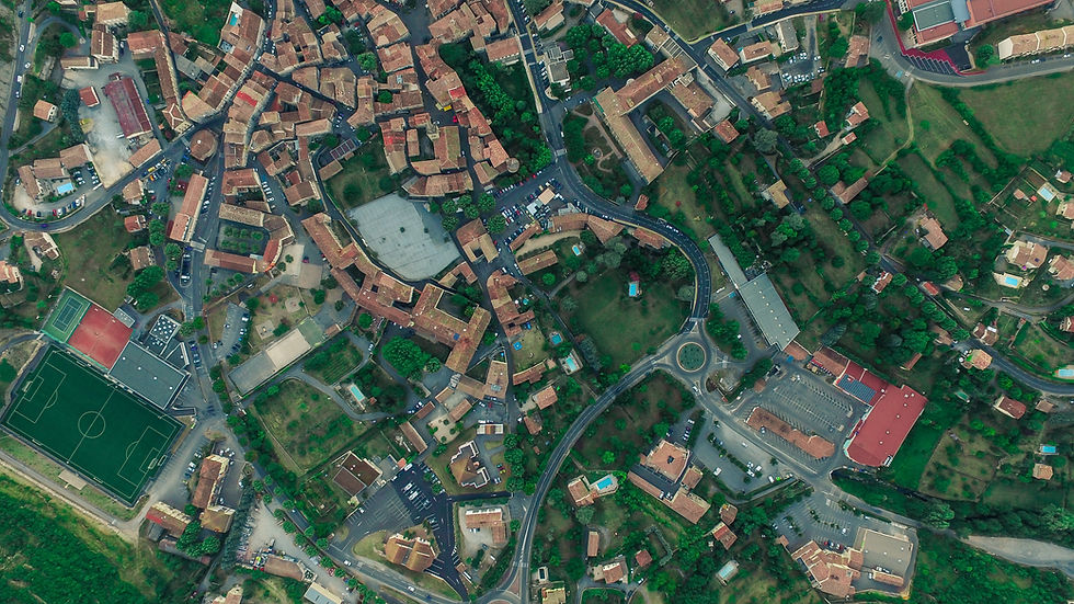
Satellite imagery doesn't have those limitations. It covers entire regions and revisits them on a fixed schedule to provide developers with regular updates. If they want to see the location’s history, they can get instant access to Landsat imagery download and pull up decades of data in minutes. Developers finally see how their work fits into the broader environment rather than looking at the site in isolation.
Modern Monitoring: How Satellite Data Complements On-Site Checks
Traditional site visits, limited by physical access and high travel costs, work well for detailed checks but struggle with scale. An inspector can only be in one place at a time, so it’s nearly impossible to track how a massive infrastructure project affects the surrounding landscape in real-time. A highway, pipeline, or urban expansion cannot be fully understood from ground level alone.
Satellite monitoring provides the wide-angle view necessary for modern, sustainable construction. Instead of isolated checks, project teams conduct repeated observations that show both the site and its surroundings. A single pass can capture land use, vegetation loss, soil disturbance, and construction progress across entire corridors. This creates a whole new workflow:
satellites scan continuously and flag anomalies;
teams focus site visits on confirmed risks;
progress and impact records are stored as objective time series.
Network Rail in the UK already uses radar satellites to monitor thousands of miles of track simultaneously. Instead of checking every mile by hand, they use satellite alerts to identify the exact spots that need an expert view.
Practical Applications Of Satellite Data In Low-Impact Construction
A lot can change between two site visits, and not everything gets reported clearly. Sentinel or Landsat satellite images keep a running tally of construction footprint and ecosystem reactions — a perspective that was previously out of builders’ reach. We can see this most clearly in the following areas.
Mapping And Reducing Urban Heat
Cities are measurably hotter than the land surrounding them, and construction makes it worse — more concrete, less shade, less water absorption. Satellite thermal sensors record surface urban heat island (SUHI) where this heat concentrates, thus turning it into a manageable architectural variable.
In Terni, Italy, researchers pulled Landsat 7 imagery from before and after a major urban regeneration project and compared land surface temperatures directly. The research proved that adding green spaces, underground parking, and specific building shadows successfully lowered surface temperatures.
That same logic now applies at the design stage. Planners can use thermal baselines to justify:
Green infrastructure. Placing trees where they provide maximum cooling.
Blue infrastructure. Placing water features to maximize evaporative cooling.
Cool materials. Identifying hot spots to mandate high-albedo roofs.
Airflow corridors. Orienting buildings to catch natural breezes.
With this approach, heat mitigation becomes a measurable construction standard, ensuring new districts cool their surroundings rather than cooking them.
Also Read:
Proactive Climate-Aware Asset Management
The most sustainable building is the one that doesn't need to be replaced. Earth observation provides the reliable data needed to keep existing structures viable. A practical application is seen in the SAVi (Sustainable Asset Valuation) assessments by the International Institute for Sustainable Development, where Copernicus climate data helps operators value the resilience of an asset.
By modeling climate-related risks with Landsat data, managers can prioritize reinforcement, extend material life, and direct funds to the most vulnerable nodes in a transport network. In the long run, this means preventing the total failure of critical infrastructure and significant reduction of the carbon footprint associated with large-scale emergency reconstructions.
Verifying Green Development Performance
When a development claims to be green, the honest question is: green compared to what and measured how? Most certification frameworks still depend heavily on developer-submitted data, which makes independent verification difficult. Satellite data is among the most reliable ways to verify that a green building is actually performing as intended.
Research on Karizland, a green town development in Iran, tested this directly. Using Landsat 8 data, researchers measured the project's actual environmental footprint after completion: vegetation cover had grown by 275%, and mean land surface temperature had fallen by 8%. Numbers like these are difficult to fake; they come from satellite sensors, independent of whoever built the project.
When Sustainability Gets Measured
The construction industry has spent decades making sustainability promises. The harder part has always been proving them to regulators, certifiers, and the cities that will live with the results for a century.
Satellite data doesn't make construction sustainable on its own, but it ensures project claims match their real-world performance. Surface temperatures either dropped or they didn't. Vegetation either grew or it didn't. This objective, repeatable, independent satellite record is what moves sustainable construction from a marketing position to a verifiable standard.
Author :Kateryna Sergieieva
Kateryna Sergieieva has a Ph.D. in information technologies and 15 years of experience in remote sensing. She is a scientist responsible for developing technologies for satellite monitoring and surface feature change detection. Kateryna is an author of over 60 scientific publications.


